
- Industries
- Products
Remote Drone Operation Solutions

Developer Technologies

Accessories
- Insights
- Events
- Eco System
- Data Security
- Support


- Industries
- Products
Remote Drone Operation Solutions
Developer Technologies
Accessories
- Insights
- Events
- Eco System
- Data Security
- Support
Construction Management
Drone solutions help manage every step of the construction process to moniter progress, reduce risks, and keep personnel safe.
Construction Management Key Benefits
Progress Monitoring
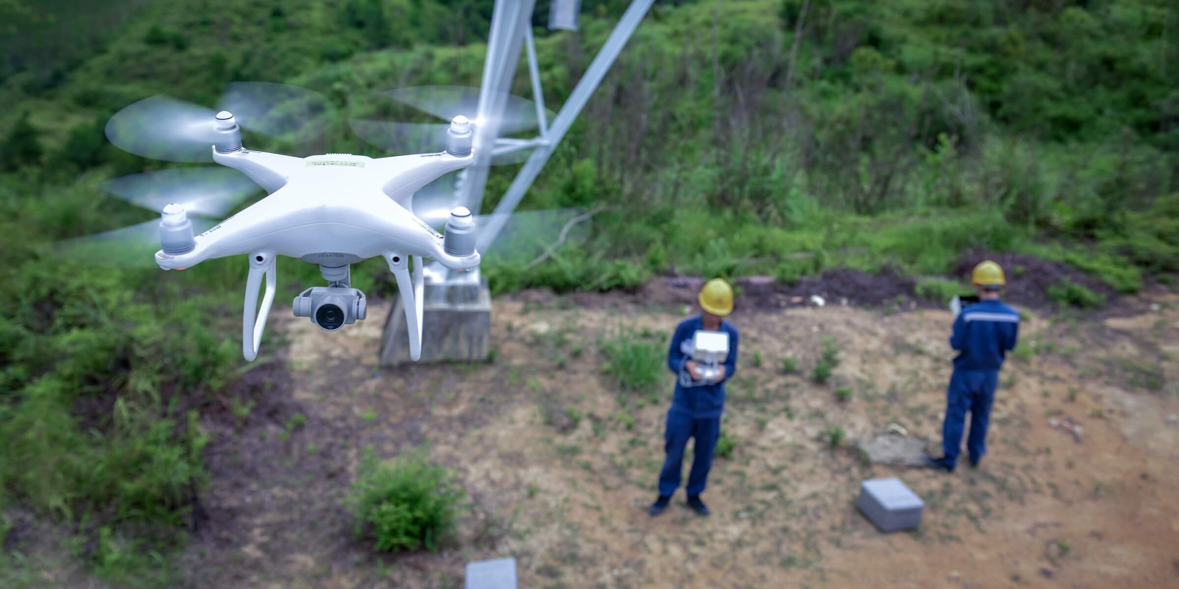
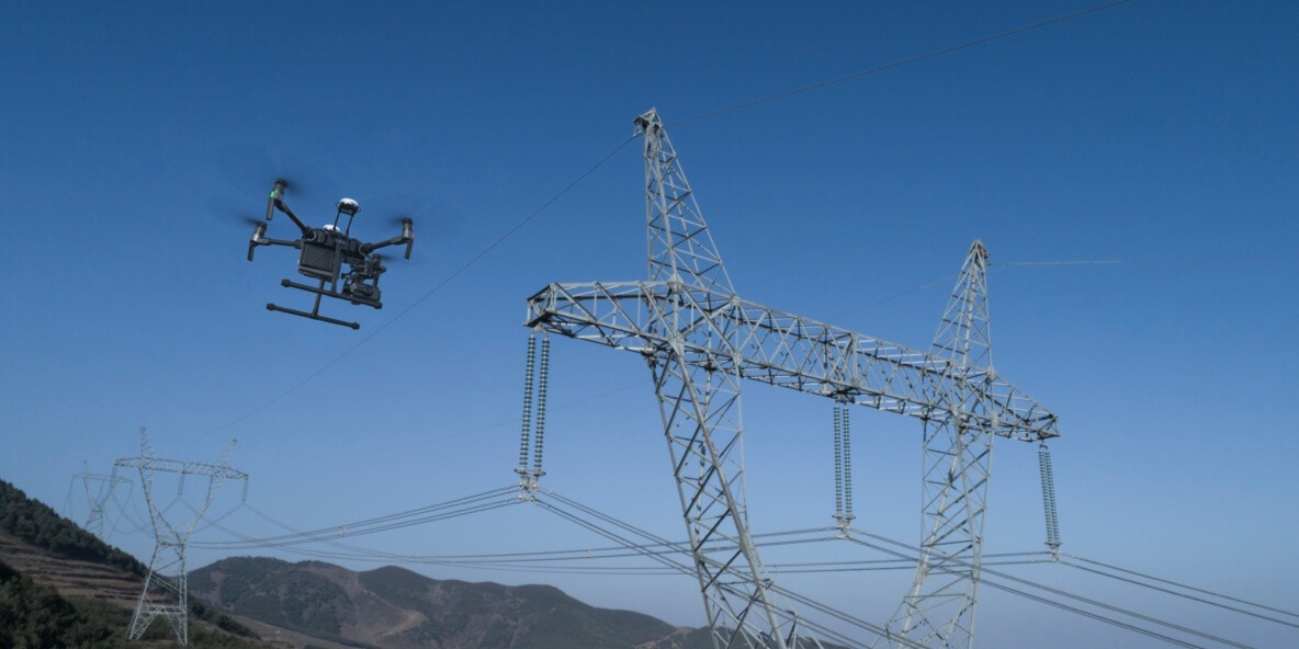
Overhead Power Line Stringing
As Built Condition
Asset Digitization
Progress Monitoring
Traditional Challenges in Progress Monitoring
It is difficult to keep track of power line construction projects as they are often spread out, involving many teams.
Construction managers are unable to properly coordinate teams and ensure timely information delivery due to the physical distance between the site and the command center.
Fixed cameras onsite are unable to cover the entire site in detail, failing to capture critical progress information while creating many files that can be difficult to sort through.
Manually measuring construction earthwork is inefficient, producing results with low accuracy.
How Drones Help Monitor Progress
Drones provide complete site overviews and deliver accurate data on-demand, keeping personnel safe while improving efficiency throughout the project life cycle.
Drones are compact yet powerful, taking minutes to set up and can live stream footage back to the command center using DJI FlightHub, enabling timely information delivery and coordinated decision making.
Drone measurement data on earthwork and materials help accurately estimate workload and update project progress.
Related Products
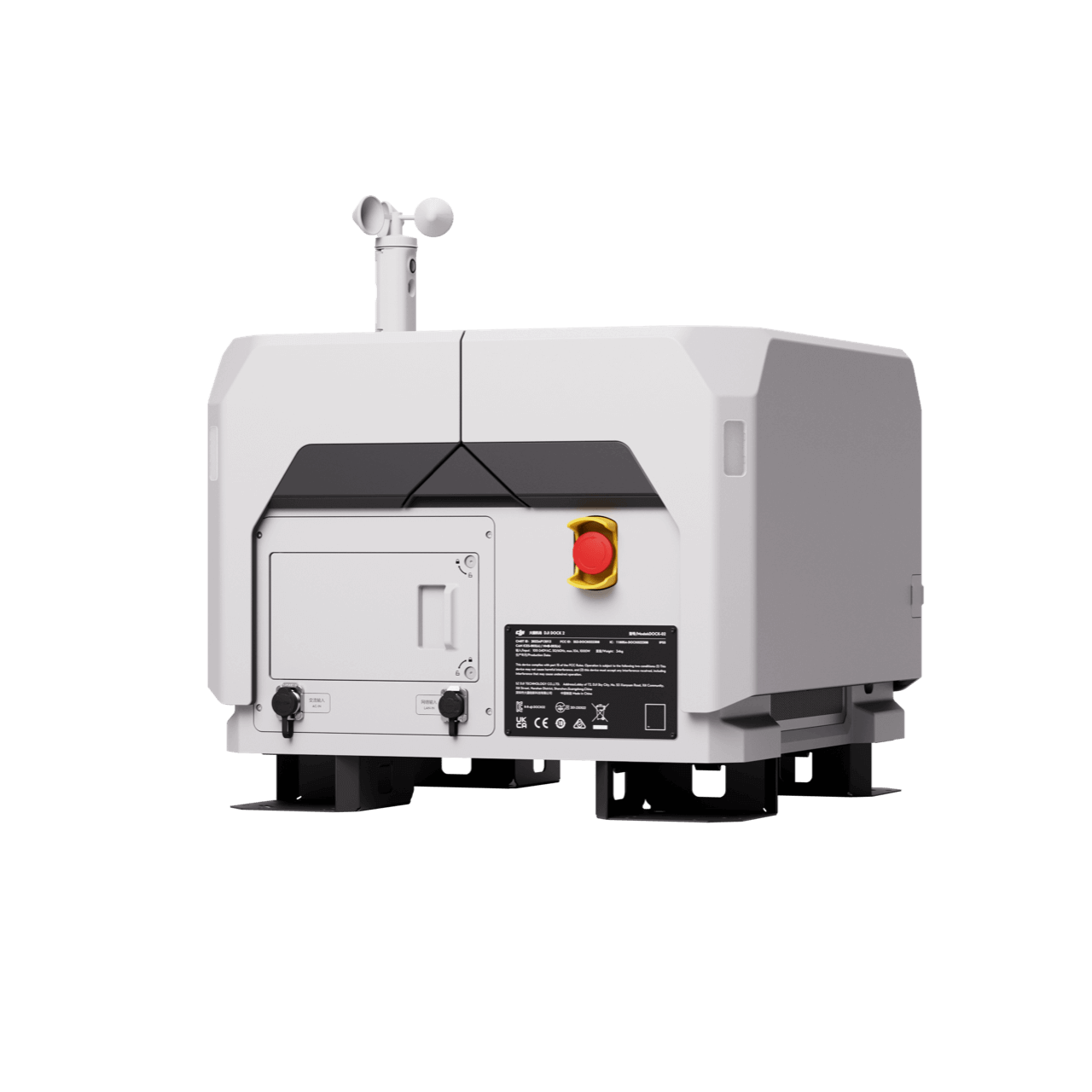
Rapid Mapping Platform
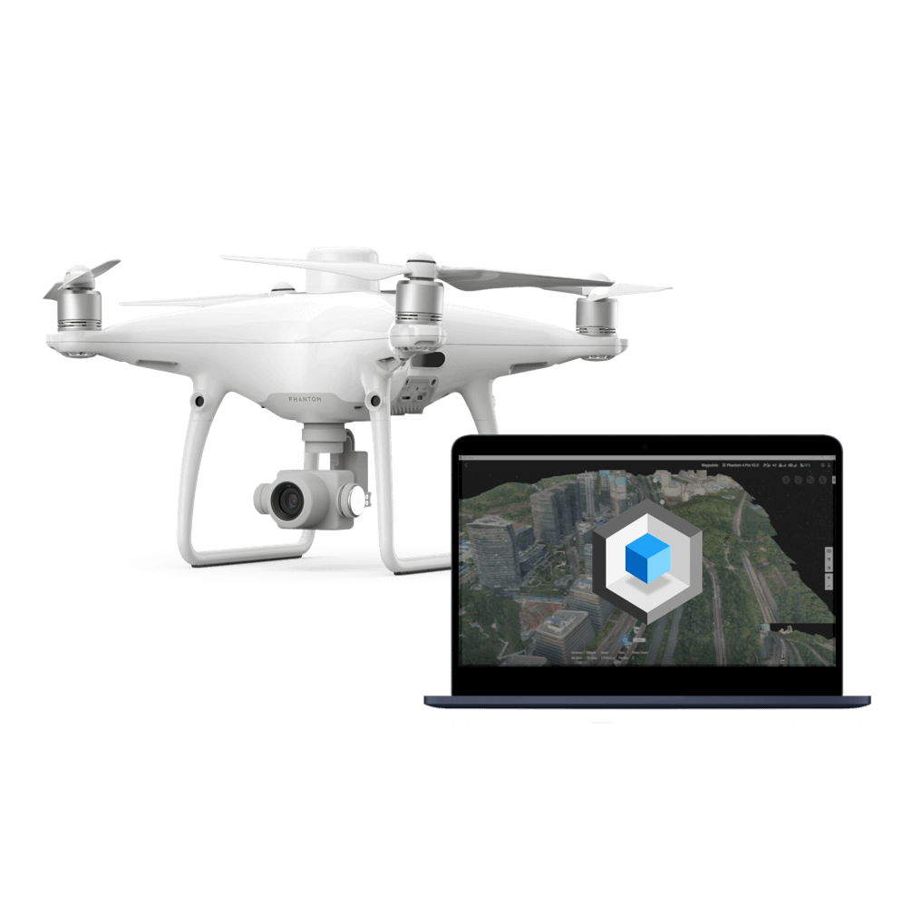
Phantom 4 RTK
Payloads and Software

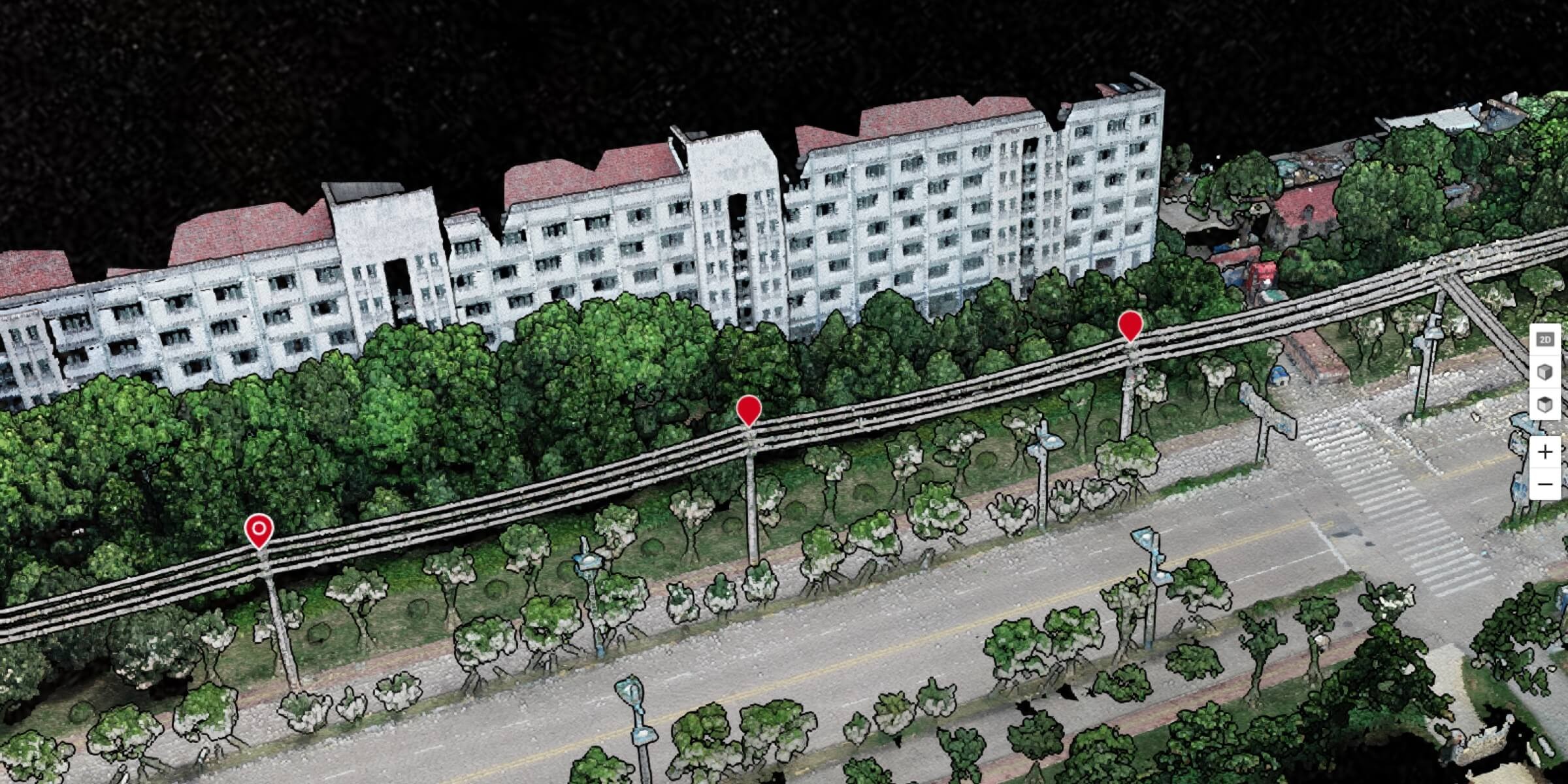
Overhead Power Line Stringing
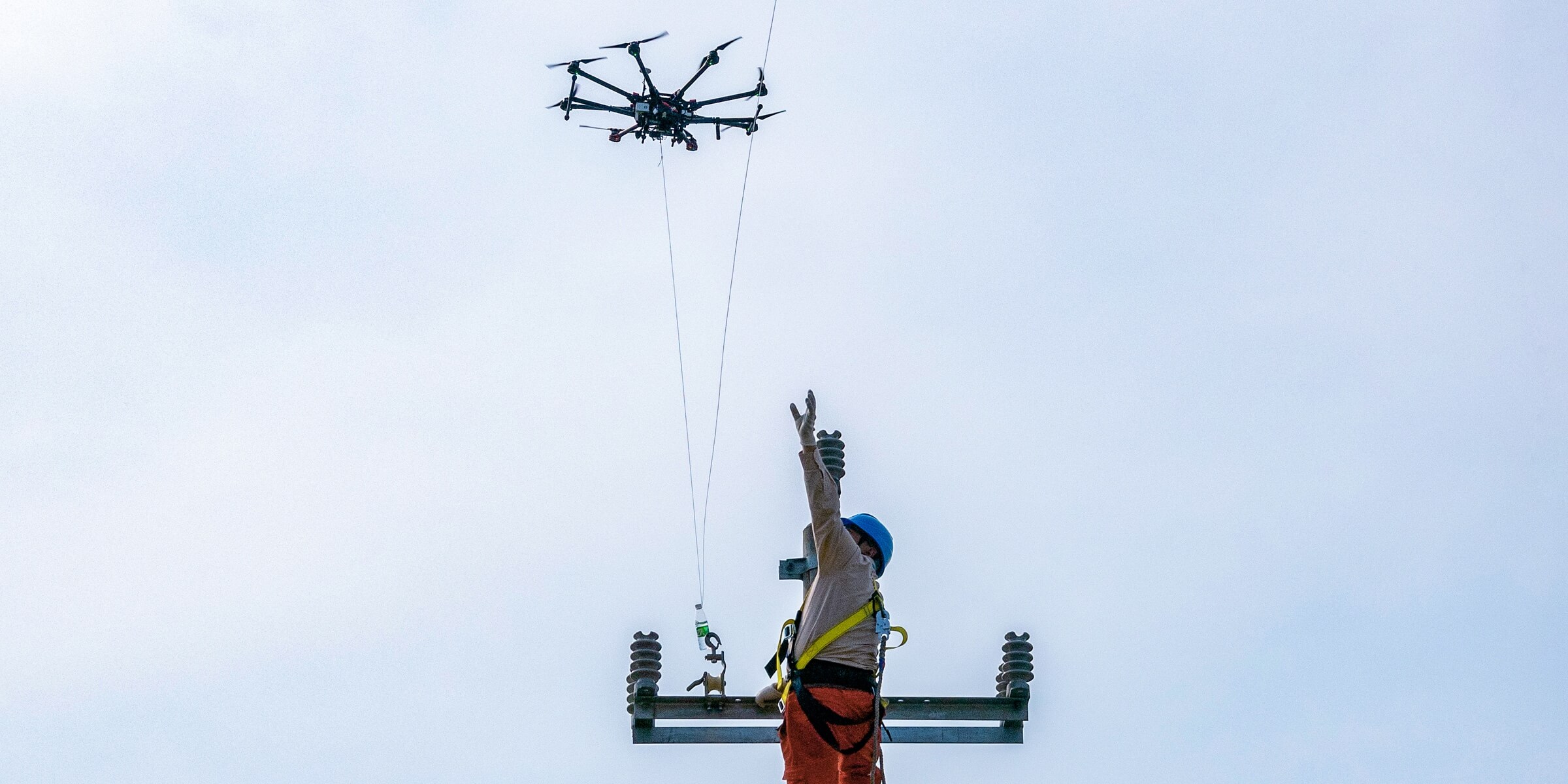
Traditional Challenges in Site Survey
Grid worksites are often located in complex geographies that are hard to access, costing significant time, manpower, and equipment investment to survey.
Satellite or manned aircraft data is expensive and cannot be accessed on demand, while the data accuracy is subpar.
The DLGs produced are difficult to visualize, unlike 2D maps or 3D models.
How Drones Empower Site Survey
Easily take off and fly over complex worksites to collect highly accurate data.
Rapidly generate 2D orthomosaics and 3D models as references for engineering planning and design.
Superimpose designs with 2D and 3D reconstructions to visualize the effect and make adjustments.
Related Products
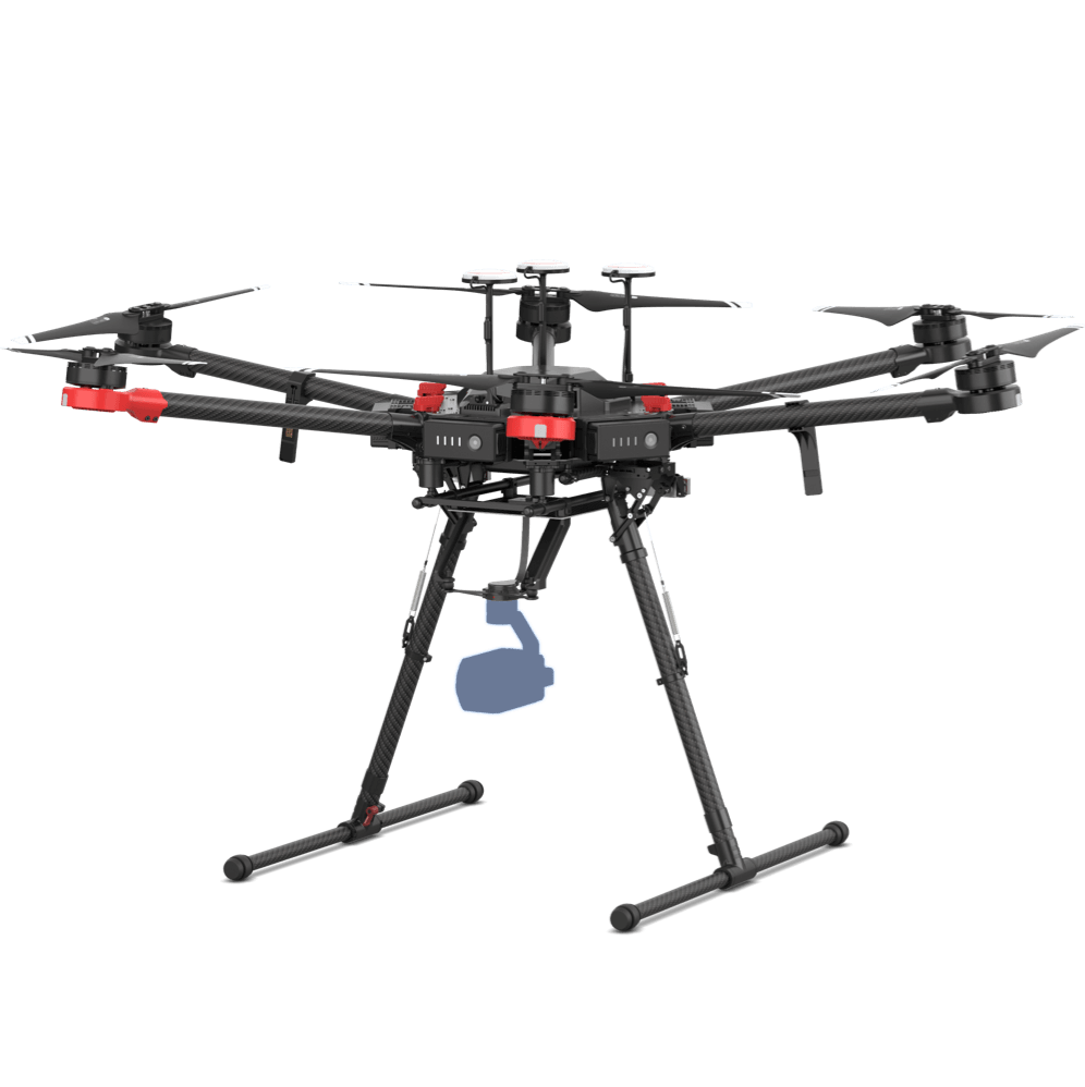
Heavy Lifting Solution
Matrice 600 Pro
Products and Software

SDK
Power Line Construction Planning
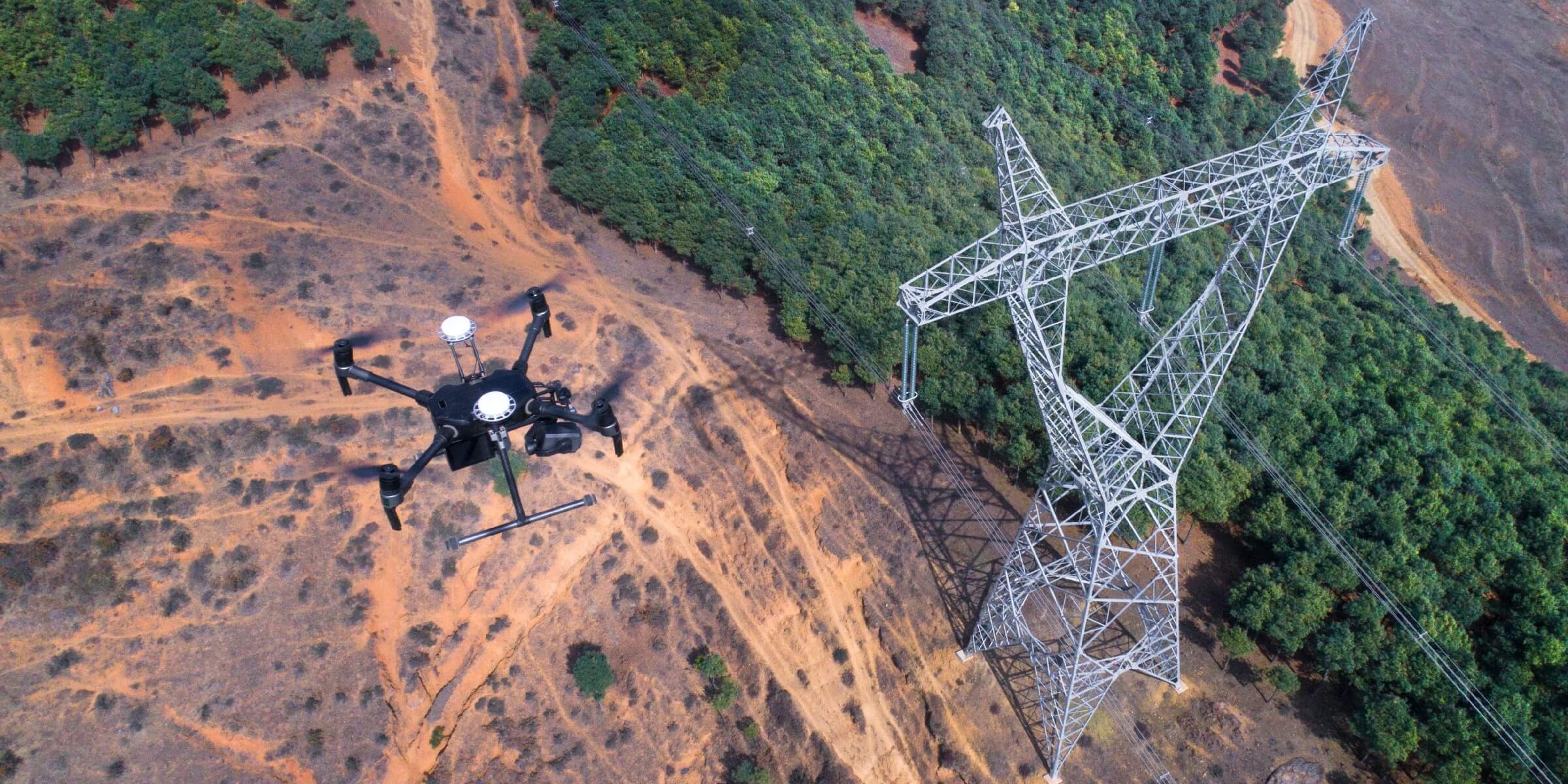
Traditional Challenges in As Built Plans
Verifying project details sometimes requires personnel to climb up pylons, which can be dangerous and time-consuming.
Without climbing onto the actual pylons, it can be hard to verify that all project requirements have been met based on ground observations alone.
Documentation done by different team members are not consolidated or even digitized, making it difficult to compile feedback or proceed to acceptance.
How Drones Enhance As Built Plans
Drones deliver complete inspection data on structures like transmission towers, covering multiple angles without missing any details.
Drones can be deployed quickly, saving time and labor while keeping personnel safe.
Related Products
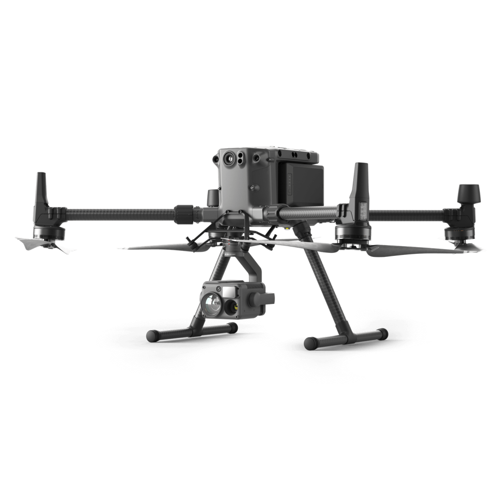
Versatile Platform
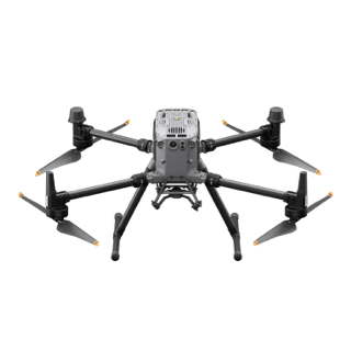
Matrice 300 RTK
Payloads and Software
Power Line Construction Planning
Traditional Challenges in Digitizing Assets
Traditional surveying equipment can be bulky, expensive, and difficult to maneuver in remote areas.
The learning curve on traditional surveying equipment is steep. Professionals are often hired to operate and analyze data, incurring additional costs.
How Drones Digitize Assets
Drones are portable and flexible, and can be opearted in remote areas such as in the mountains or in forests.
Drones are a lot more affordable than traditional surveying equipment, while being easier to operate and extract useful insights.
Drone data can be used to build survey-grade 2D and 3D models, providing crucial data for automated inspections and more.
Related Products
Versatile Platform
Phantom 4 RTK
Payloads and Software
Explore More Content

Subscribe for Similar Content
We will keep you up to date with more stories about drones and other relevant updates. If you are interested in purchasing any of our solutions, you can contact us for further information.
What are you waiting for? Contact us right now and get a free quote for your project
About Us
At Rarlon Tech, we are proud to bring you cutting-edge solutions by offering a wide range of products from DJI Enterprise, a globally recognised leader in drone technology. Our partnership with DJI ensures you receive high-quality, reliable, and innovative tools to meet your business and operational needs.
Explore
Support
Copyright © 2024 Rarlon Tech. All Right Reserved.