
- Industries
- Products
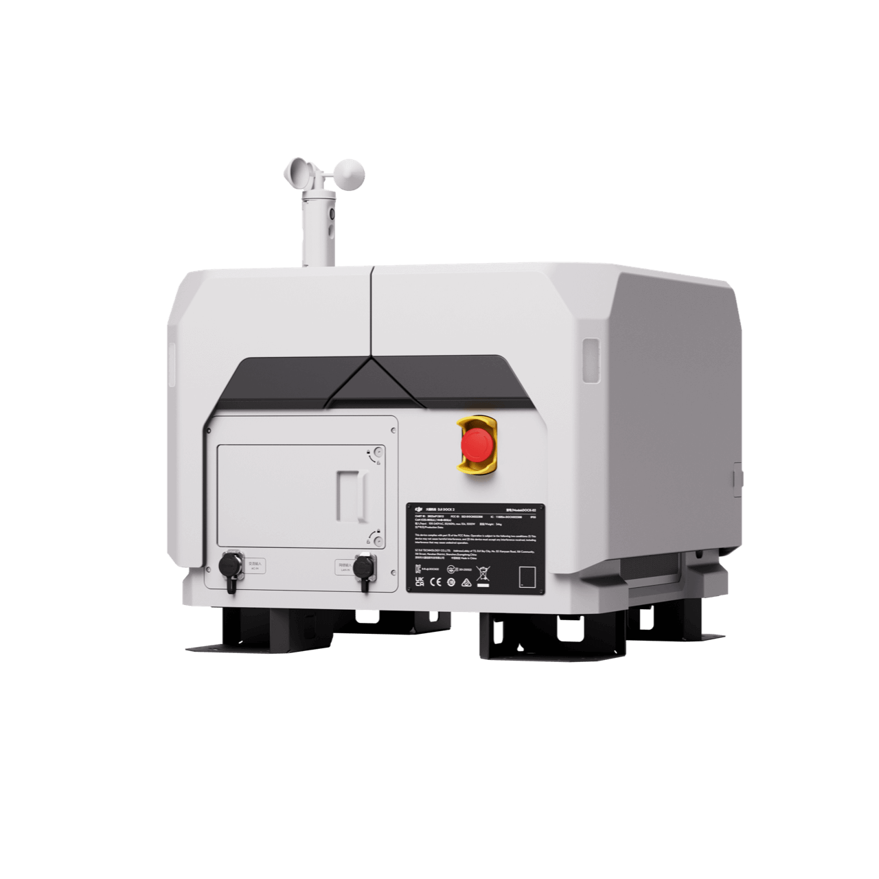
Remote Drone Operation Solutions

Developer Technologies

Accessories
- Insights
- Events
- Eco System
- Data Security
- Support


- Industries
- Products
Remote Drone Operation Solutions
Developer Technologies
Accessories
- Insights
- Events
- Eco System
- Data Security
- Support
Facade High Wall
Reduce mine risk and enhance operations with frequent and accurate facade
high wall modeling.
high wall modeling.
Painpoints
- Traditional high wall surveying methods often exposes personnel to potential risks.
- Time-consuming and inefficient, especially across large mining sites.
- Lack of high-precision and high-resolution data of the high walls.
Advantages
- Reduce risk with safer data collection methods without compromising quality.
- Optimize field work and enhance operations with efficient aerial survey solutions.
- Produce geotagged high quality models for improved decision making.
Solution
Portable Drone Surveying & Mapping Solution
Full-Frame High-Performance Surveying and Mapping Solution
Portable Drone Stockpike Measurement Solution
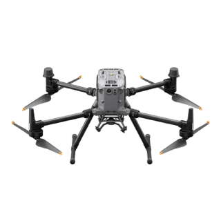
The DJI Mavic 3E is a portable surveying and mapping drone suitable for single-pilot operations. Paired with DJI Terra, it can generate accurate 2D and 3D models with significant reduction on the ground control points.
- The Mavic 3E's compact size and user-friendly design facilitate rapid setup, mission planning, and pack-up, making it highly suitable for last-minute or urgent survey requirements in a busy operational environment.
- Reliability and high accuracy even when flying at high altitudes.
- The Real-Time Terrain Follow mode allows the Mavic 3E to adjust its altitude in real time, ensuring a consistent height relative to the terrain being mapped.


Workflow
- Data Collection: Plan a 2D, Smart Oblique or Slope Route map mission for Facade High Wall Mapping.
- Data Processing: Import the collected data into DJI Terra to generate DOM, DSM, Point Clouds and 3D models.
- Data analysis: Import resulting DOM, DSM or 3D models into your preferred 3rd Party software for further analysis.
Contact Us
For more information about product demo or trial, leave your contact information in the form below. You can also reach out to your local dealer for more information.
What are you waiting for? Contact us right now and get a free quote for your project
About Us
At Rarlon Tech, we are proud to bring you cutting-edge solutions by offering a wide range of products from DJI Enterprise, a globally recognised leader in drone technology. Our partnership with DJI ensures you receive high-quality, reliable, and innovative tools to meet your business and operational needs.
Explore
Support
Copyright © 2024 Rarlon Tech. All Right Reserved.