
- Industries
- Products
Remote Drone Operation Solutions

Developer Technologies

Accessories
- Insights
- Events
- Eco System
- Data Security
- Support


- Industries
- Products
Remote Drone Operation Solutions
Developer Technologies
Accessories
- Insights
- Events
- Eco System
- Data Security
- Support
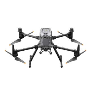
Effective aerial surveying needs to see the invisible. That’s why Mavic 3 Multispectral has two forms of sight. It combines an RGB camera with a multispectral camera to scan and analyze crop growth with total clarity. Agricultural production management requires precision and data, and Mavic 3M delivers both.
Compact and portable
Foldable for easy storage
Safe and stable
Omnidirectional Obstacle Avoidance [1]
15km Transmission Distance [2]
Multispectral Camera
4 × 5MP
G/R/RE/NIR
Precise positioning
Centimeter-level RTK positioning
Microsecond-level time synchronization
RGB camera
20 MP
4/3 CMOS, mechanical shutter
Efficient aerial surveying
Up to 200 hectares per flight [3]
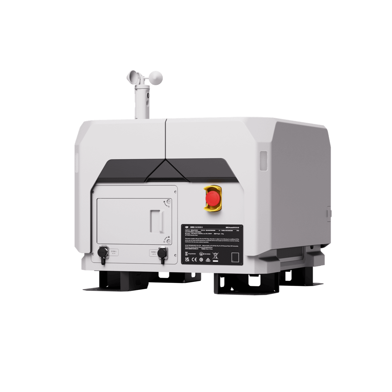
RTK module
Accurate images that capture every pixel
Mavic 3M with RTK module for centimeter-level positioning. Flight control, the camera, and the RTK module sync in microseconds to accurately capture the location of each camera’s imaging center. This enables Mavic 3M to do high-precision aerial surveying without using ground control points.
Efficient and reliable battery life
Ultra-long battery life, fast bursts
43 minutes [4]
Cruise time
200 hectare [3]
A single flight can complete mapping operations over an area of 200 hectares.
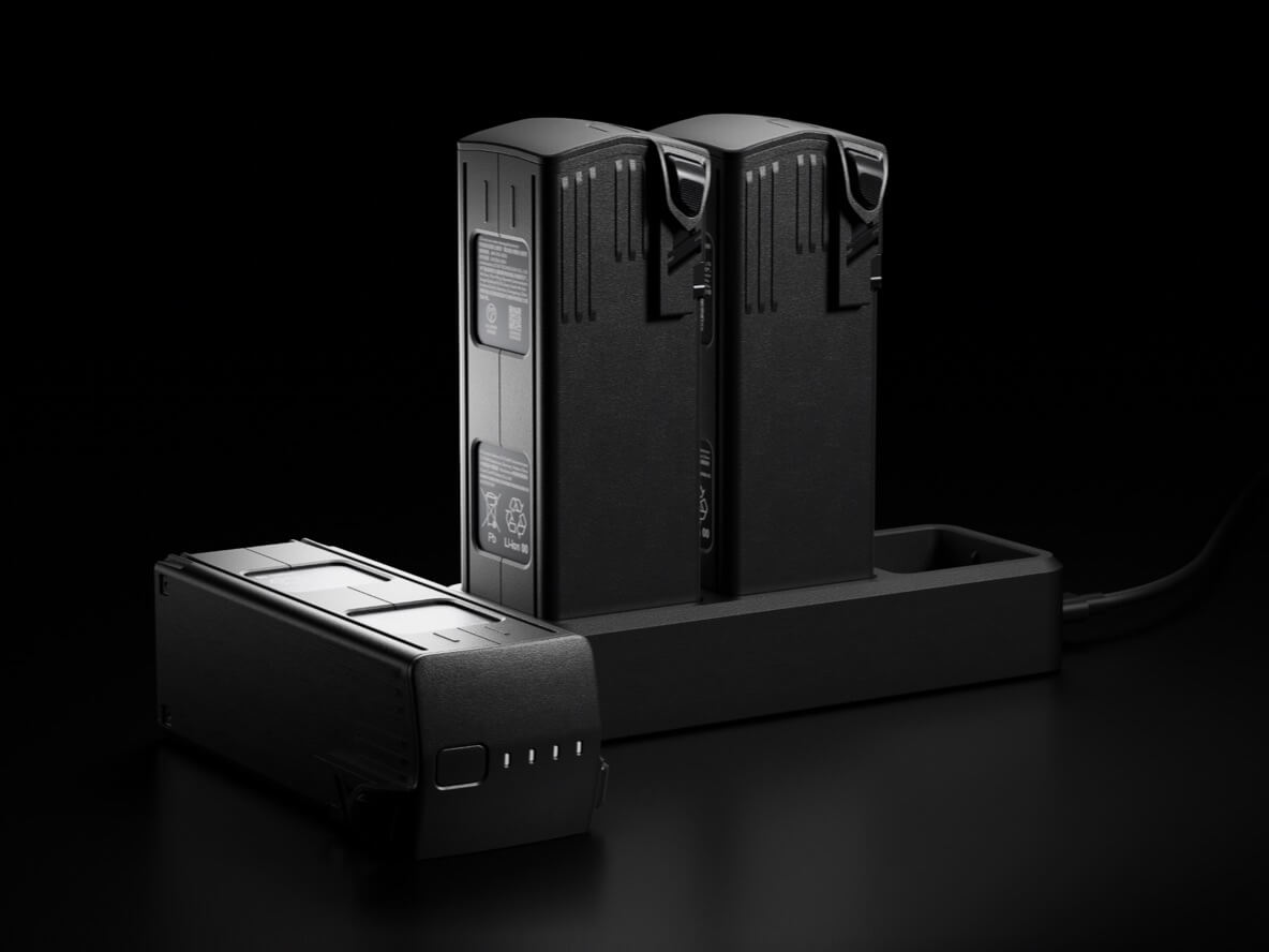
Fast charging
100W Battery Charging Hub
High-efficiency fast charging
88W fast charging
Aircraft
Stable signal, smooth image transmission
The O3 transmission integrates two transmitting signals and four receiving signals to support 15km ultra-long transmission distances.
With the optional DJI Cellular module [5], the 4G Enhanced Transmission and O3 Transmission Industry Edition work simultaneously to ensure signal stability and a safer flight, even in places where mountains or buildings obstruct the signal.
Omnidirectional obstacle sensing [1], terrain-follow aerial surveying
The aircraft features multiple wide-FOV vision sensors that accurately detect obstacles in all directions for omnidirectional obstacle avoidance. The terrain-follow aerial surveying can be easily performed in steep-slope landscapes.
What are you waiting for? Contact us right now and get a free quote for your project
About Us
At Rarlon Tech, we are proud to bring you cutting-edge solutions by offering a wide range of products from DJI Enterprise, a globally recognised leader in drone technology. Our partnership with DJI ensures you receive high-quality, reliable, and innovative tools to meet your business and operational needs.
Explore
Support
Copyright © 2024 Rarlon Tech. All Right Reserved.