
- Industries
- Products
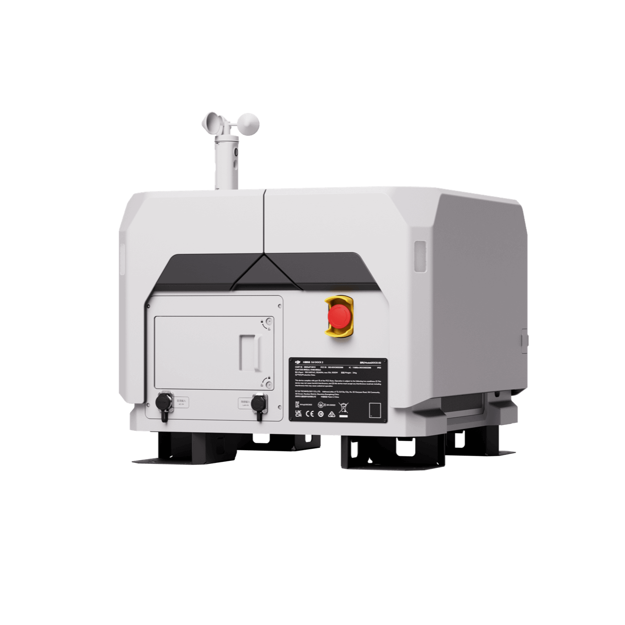
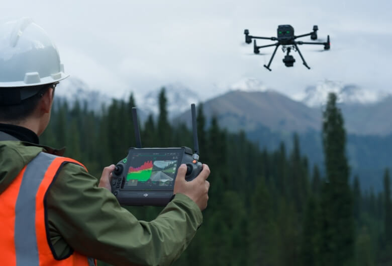
Remote Drone Operation Solutions

Developer Technologies

Accessories
- Insights
- Events
- Eco System
- Data Security
- Support


- Industries
- Products
Remote Drone Operation Solutions
Developer Technologies
Accessories
- Insights
- Events
- Eco System
- Data Security
- Support
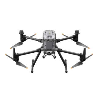
IMU system, and a 4/3 CMOS RGB mapping camera, providing DJI flight
platforms with more precise, efficient, and reliable geospatial data
acquisition. When used with DJI Terra, it delivers a turnkey solution for
3D data collection and high-accuracy post-processing.
High Precision
Vertical Accuracy: 4 cm; Horizontal Accuracy: 5 cm [1]
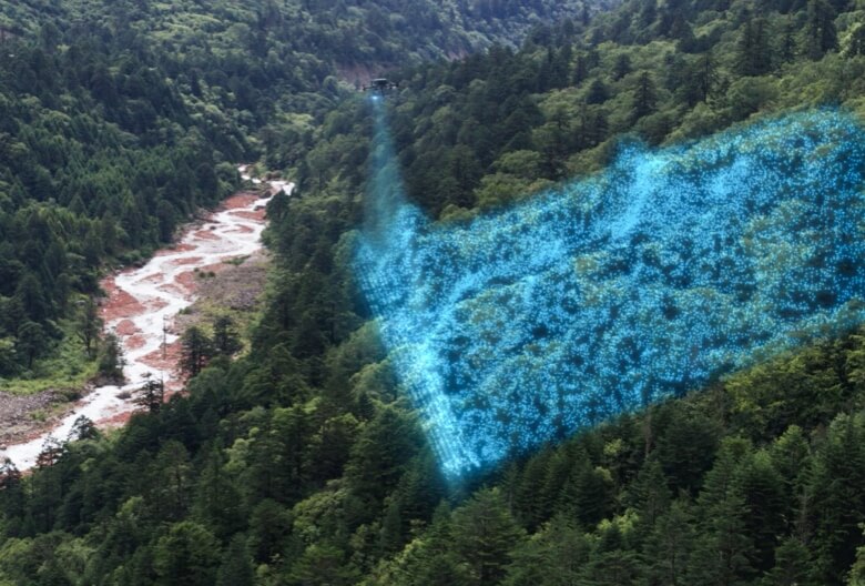
Exceptional Efficiency
2.5 km2 covered in a single flight [2]
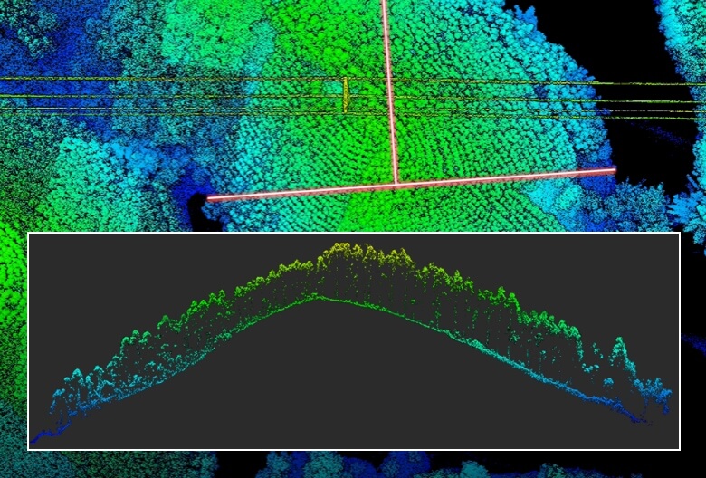
Superior Penetration
Smaller laser spots, denser point clouds
Detection Range [3]
250m @10% reflectivity, 100klx 450m @50% reflectivity, 0klx
5 Returns
Turnkey Solution [4]
Point Cloud LiveView
One-Click Processing on DJI Terra
Integrated LiDAR Solution
Supported by its powerful hardware, L2 can allow for a precise scan of complex subjects within an extended range and faster point cloud acquisition. During operations, users can preview, playback, and process point cloud models on-site, with Task Quality Reports generated by DJI Terra, offeringa simple, one-stop solution to improve overall efficiency. This enables users to achieve high- precision point cloud results with one-stop post-processing.
High-Level Precision
By combining GNSS and a high-accuracy self-developed IMU, this solution achieves 4cm vertical accuracy and 5cm horizontal accuracy. [1]
Exceptional Efficiency
High-Level Precision
Frame-Based LiDAR
30% Detection Range Increase [5]
Smaller Laser Spots, Denser Point Clouds
Supports 5 Returns
Effective Point Cloud Rate: 240,000 pts/s
30% Detection Range Increase [5]
Two Scanning Modes
Frame-based Design
High-Accuracy IMU System
No IMU Warm-up
RGB Mapping Camera
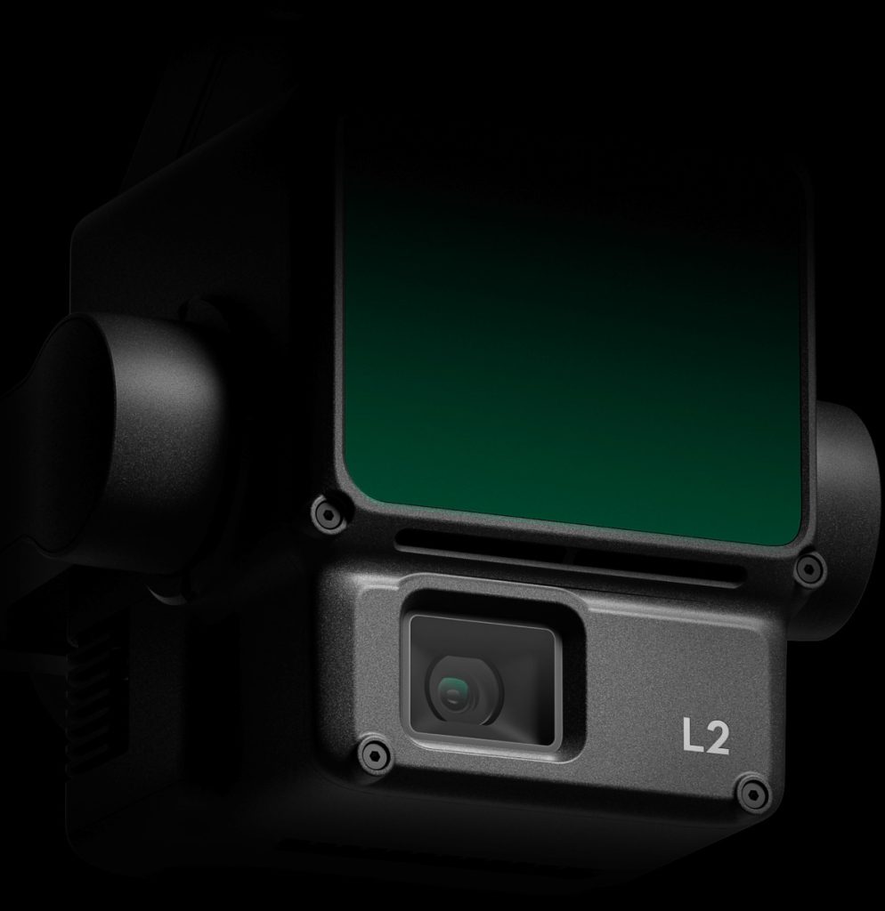
4/3 CMOS, Mechanical Shutter
Enhanced Operational Experience
Zenmuse L2’s intelligent recognition algorithm supports identification, tracking, and junction analysis for transmission and distribution lines, enabling semi-automatic flight and
data collection.
Supports Waypoint, Area, and Linear Route types, for handling surveying tasks in a variety of environments.
During operation, DJI Pilot 2 supports three display modes – RGB, point cloud, and point cloud/RGB side-by-side display, presenting operational results in an intuitive way. Activating RNG (Laser Rangefinder) enables access to the distance information between the LiDAR module and the object in the center of the FOV, enhancing flight safety. It also supports four real-time point
cloud coloring modes – Reflectivity, Height, Distance, and RGB.
After the operation, the 3D point cloud model [7] can be viewed directly in the album. 3D Point cloud models of multiple flights can also be merged, enabling on-site decision-making regarding operational quality.
After point cloud data collection, the DJI Pilot 2 app will automatically generate a Task Quality Report [8] so that operators can check operational results in real-time and on-site, making fieldwork more responsive and worry-free.
In complex operational environments, users can set up RTK base stations before the operation to preemptively avoid the loss of RTK data due to interference, video transmission disconnection, or other issues. After the operation, import original files into DJI Terra to use the PPK (post- processing kinematic) process to rebuild high-precision models.
Application Scenarios
applied to land surveying and mapping, electricity, forestry, and infrastructure
management, as well as other scenarios.
Land Surveying and Mapping
Electricity management
Forestry management
Infrastructure management
What are you waiting for? Contact us right now and get a free quote for your project
About Us
At Rarlon Tech, we are proud to bring you cutting-edge solutions by offering a wide range of products from DJI Enterprise, a globally recognised leader in drone technology. Our partnership with DJI ensures you receive high-quality, reliable, and innovative tools to meet your business and operational needs.
Explore
Support
Copyright © 2024 Rarlon Tech. All Right Reserved.