
- Industries
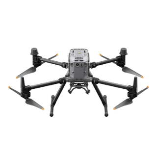
- Products
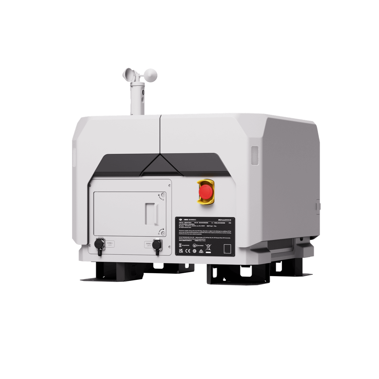
Remote Drone Operation Solutions

Developer Technologies

Accessories
- Insights
- Events
- Eco System
- Data Security
- Support


- Industries
- Products
Remote Drone Operation Solutions
Developer Technologies
Accessories
- Insights
- Events
- Eco System
- Data Security
- Support
Geospatial
Surveying & Mapping
Perform topographic survey and generate a variety of data outputs with greater efficiency and reducing operational cost
Applications

Land Survey
Quickly generate accurate 2D and 3D models. Cover more ground, improve safety, and reduce costs

Cadastral Survey

Urban Planning
Construction
Applications

Progress Management

Earthwork
Enchance earthwork operations through frequent and accurate earth movement and stockpile volume measurements

BIM
Collect accurate information of your assets for Building Information Modeling (BIM) processes with efficient and precise data capture

Heritage Preservation
Mining
Applications

Mining Survey
Optimize stockpile measurement and pit modeling processes with safer, faster and more accurate data collection alternative than traditional surveying methods

Facade High Wall
Reduce mine risk and enhance operations with frequent and accurate facade high wall modeling

Asset Inspection
Improve asset inspection efficiency with visual and thermal data collection without disrupting ongoing operations

Site Safety
Improve mining safety and optimize operations through work site aerial views and data collection capabilities
Precision Agriculture
Applications

Precision Agriculture
What are you waiting for? Contact us right now and get a free quote for your project
About Us
At Rarlon Tech, we are proud to bring you cutting-edge solutions by offering a wide range of products from DJI Enterprise, a globally recognised leader in drone technology. Our partnership with DJI ensures you receive high-quality, reliable, and innovative tools to meet your business and operational needs.
Explore
Support
Copyright © 2024 Rarlon Tech. All Right Reserved.