
- Industries
- Products
Remote Drone Operation Solutions

Developer Technologies

Accessories
- Insights
- Events
- Eco System
- Data Security
- Support


- Industries
- Products
Remote Drone Operation Solutions
Developer Technologies
Accessories
- Insights
- Events
- Eco System
- Data Security
- Support
Heritage Preservation
Create accurate digital reconstructions of historical sites to optimize
research and preservation efforts.
research and preservation efforts.
Painpoints
- Absence of Visualized 3D Models for Protective References and Historical Records.
- Time-Intensive Ground Measurements and Elevated Personnel Risks.
Advantages
- Generate accurate 2D and 3D models of the historical to properly plan conservation efforts and research purposes.
- Optimize on-site collection methods with drone-based data capture.
Solution
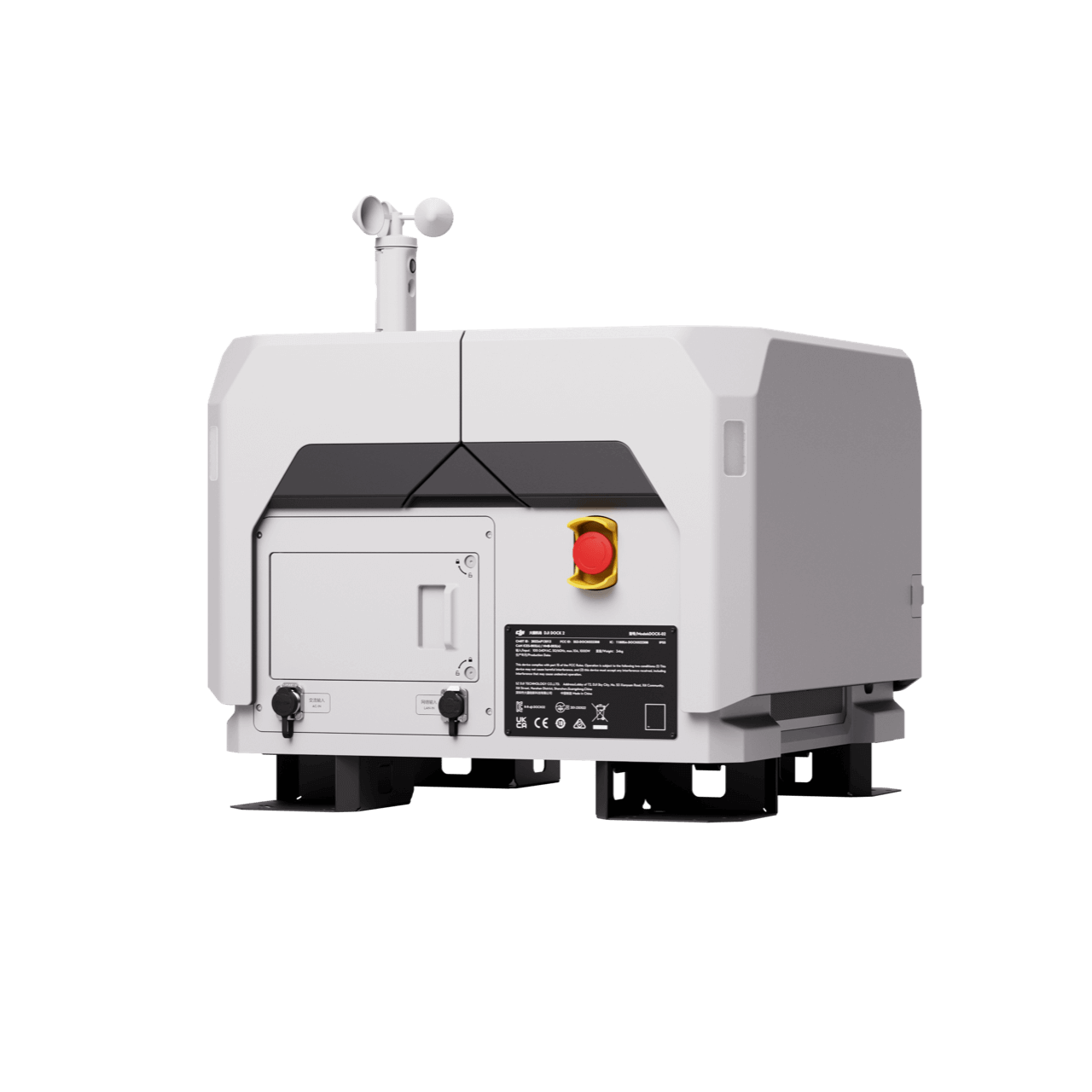
Portable Drone Surveying & Mapping Solution
Full-Frame High-Performance Surveying and Mapping Solution
Portable Drone Surveying & Mapping Solution
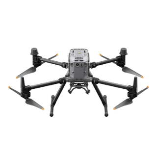
The DJI Mavic 3E is a portable surveying and mapping drone suitable for single-pilot operations. Paired with DJI Terra and DJI Modify, it can generate accurate and realistic digital models of historical sites to plan conservation efforts and support research projects.
- Portable solution, easy to operate and to carry across multiple construction sites.
- Centimiter level data thanks to its mechanical shutter and RTK capability.
- One-tap High-Quality 3D Mapping.

Payload And Software

DJI Pilot 2
Ground control

DJI Terra
Modeling and flight mission plan

DJI Modify
Intelligent 3D model editing software
Workflow
- Data Collection: Customized Flight Mission Planning for diverse building structures.
- Data Processing: Data processing in DJI Terra for high-quality 3D models. Import to DJI Modify for model editing and refinement.
- Data Analysis: Effortless export and sharing of 3D Models for BIM analysis.
Contact Us
For more information about product demo or trial, leave your contact information in the form below. You can also reach out to your local dealer for more information.
What are you waiting for? Contact us right now and get a free quote for your project
About Us
At Rarlon Tech, we are proud to bring you cutting-edge solutions by offering a wide range of products from DJI Enterprise, a globally recognised leader in drone technology. Our partnership with DJI ensures you receive high-quality, reliable, and innovative tools to meet your business and operational needs.
Explore
Support
Copyright © 2024 Rarlon Tech. All Right Reserved.