
- Industries
- Products
Remote Drone Operation Solutions

Developer Technologies

Accessories
- Insights
- Events
- Eco System
- Data Security
- Support


- Industries
- Products
Remote Drone Operation Solutions
Developer Technologies
Accessories
- Insights
- Events
- Eco System
- Data Security
- Support
Urban Planning
geographic information systems, helping teams visualize results.
Painpoints
- Land Management and Land Use Planning relies on a combination of low resolution images, physical maps, and contour maps, which are low-resolution and not frequently updated.
- Urban data collection is inefficient and time-consuming due to complex environments.
Advantages
- Keep data accurate and up to date with drone-generated 2D maps and 3D models for more informed design and planning.
- Increase mapping efficiency in cities or rural areas with easy-to-create flight plans, reducing costs and field work duration.
Solution
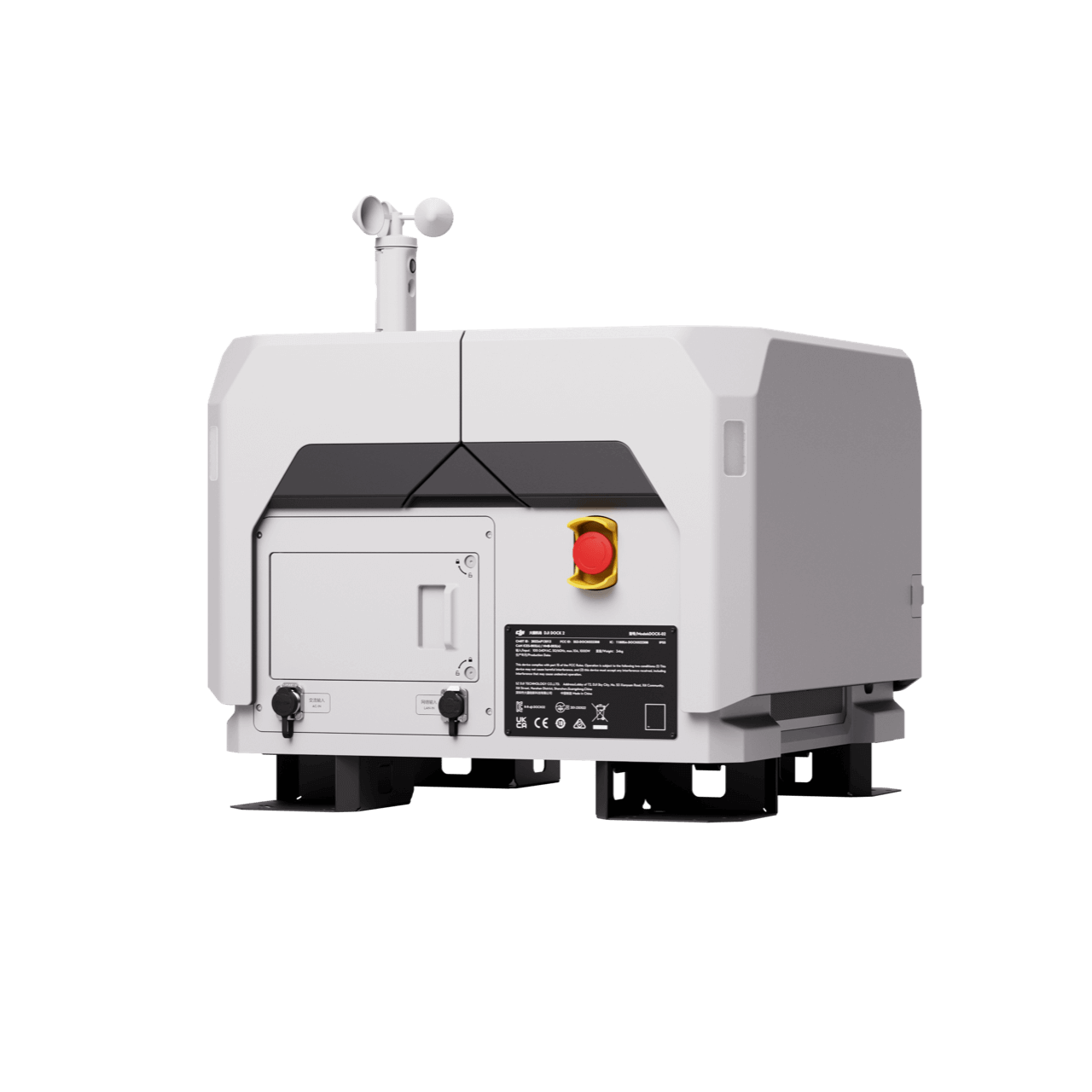
Portable Drone Surveying & Mapping Solution
Portable Drone Surveying & Mapping Solution
- Portable solution, easy to carry and deploy.
- Centimiter level data thanks to its mechanical shutter and RTK capability.
- Ensure operational safety with omnidirectional obstacle avoidance sensors.
- Field-work efficiency, covers 2 km² per flight delivering a 5cm GSD.
- Real-Time Terrain Follow feature to ensure high-quality data capture in challenging and variable terrains.
Workflow
- Data Collection: Plan a 2D, Linear Flight or Smart Oblique Missions based on the actual landscape situation for regular orthomosaic images, or oblique images data collection. Enable Real-Time Terrain Follow feature.
- Data Processing: Import to DJI Terra to process for DOM, DSM, Point Cloud and 3D models.
- Data Analysis: Import DJI Terra outputs to preferred 3rd Party Software for further analysis.
Full-Frame High-Performance Surveying and Mapping Solution
- Generate accurate centimeter-level deliverables even without ground control points.
- Field-work efficiency, covers 3 km² per flight delivering a 5cm GSD.
- Reliable and robust multi-purposed drone platform designed to endure harsh environments and conditions.
- Zenmuse P1 has a 45MP, full-frame sensor to ensure high quality data collection.
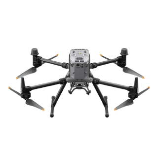
Drone Platform

Matrice 350 RTK
Weight: Approx. 6.47 kg(with single downward gimbal and two TB65 batteries).
Payload And Software

Zenmuse P1
45 MP Full-frame camera. Global Mechanical Shutter Shutter Speed 1/2000 Seconds.

DJI Pilot 2
Ground control

DJI Terra
Modeling and flight mission plan
Workflow
- Data Collection: Plan a 2D, Linear Flight or Smart Oblique Missions based on the actual landscape situation for regular orthomosaic images, or oblique images data collection. Import DSM files for Terrain Follow if necessary.
- Data Processing: Import to DJI Terra to process for DOM, DSM, Point Cloud and 3D models.
- Data Analysis: Import DJI Terra outputs to preferred 3rd Party Software for further analysis.
Contact Us
For more information about product demo or trial, leave your contact information in the form below. You can also reach out to your local dealer for more information.
What are you waiting for? Contact us right now and get a free quote for your project
About Us
At Rarlon Tech, we are proud to bring you cutting-edge solutions by offering a wide range of products from DJI Enterprise, a globally recognised leader in drone technology. Our partnership with DJI ensures you receive high-quality, reliable, and innovative tools to meet your business and operational needs.
Explore
Support
Copyright © 2024 Rarlon Tech. All Right Reserved.